Digital Dowsing rod
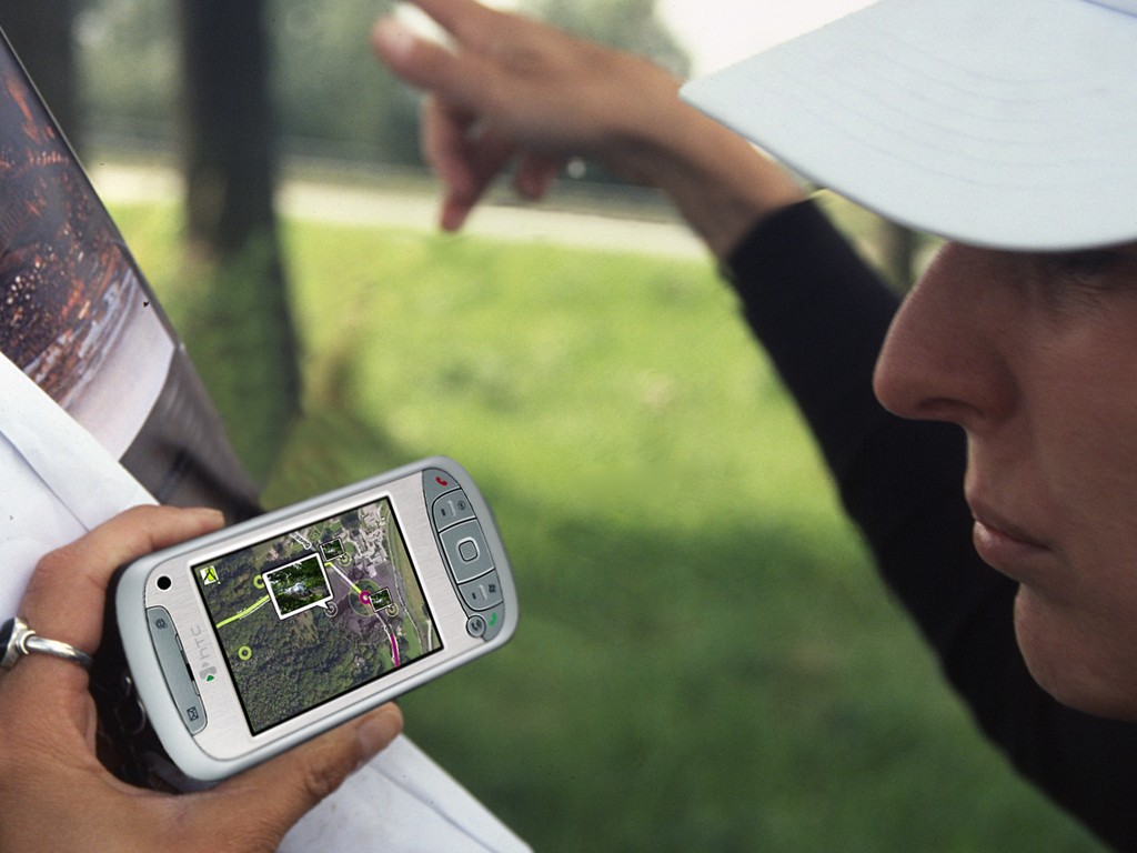
Dowsing rod: a forked rod or branched which is used to for dowsing (locating things underground). Also known as Divining Rod. Here used as a device to locate interesting information of cultural-historical nature by using geographical data.
This project aimed to make available all the unexpected and unknown cultural and historical information on location, by using geographical data. Discovering this wealth of information is possible in selected areas and on (partly) preselected routes by using an application and a device, a digital dowsing rod.
Partners in the project 'Digitale Wichelroede' were Wageningen Universiteit, Alterra, Galileo, Gemeente Utrecht, Provincie Utrecht, DS Landschapsarchitecten, KPN and Kadaster/TDN. The project is grateful for subsidies received from RGI Ruimte voor Geoinformatie.
Project duration
Publications
Financiers
- Provincie Utrecht
- Gemeente Utrecht
- RGI Ruimte voor Geoinformatie
Partners
- Wageningen University
- Alterra
- Galileo
- DS Landschapsarchitecten
- Kadaster/TDN
- KPN