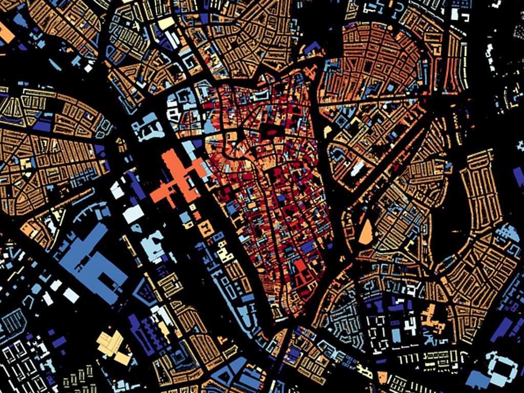
An application developed by Waag within Smart CitySDK: a map on which all buildings in the Netherlands are shaded according to year of construction. Clicking on an individual building will display its size, function (i.e. office, school, etc.) and the year it was constructed. And since the tool pulls information from a variety of sources, you'll also get details on the surrounding area like the city's name and population.
View the map
Within the Smart CitySDK (City Service Development Kit) project, Waag collaborated with Tilburg University, the Municipality of Amsterdam and the Department of Infrastructure, Traffic and Transport to share and apply data in the Participation, Mobility and Tourism domains.