On 8th March 2023, Space Lab at Waag organised a trans-disciplinary workshop with experts from different disciplines and artists to map out the following three questions: how do technologies impact the way imagine environmental and planetary interests, concerns, and injustices? What are their recommendations for those involved in the production of these environmental imaginaries? What are the first needed concrete actions so that planetary imaginaries can become more inclusive also for the creative and civil sectors?
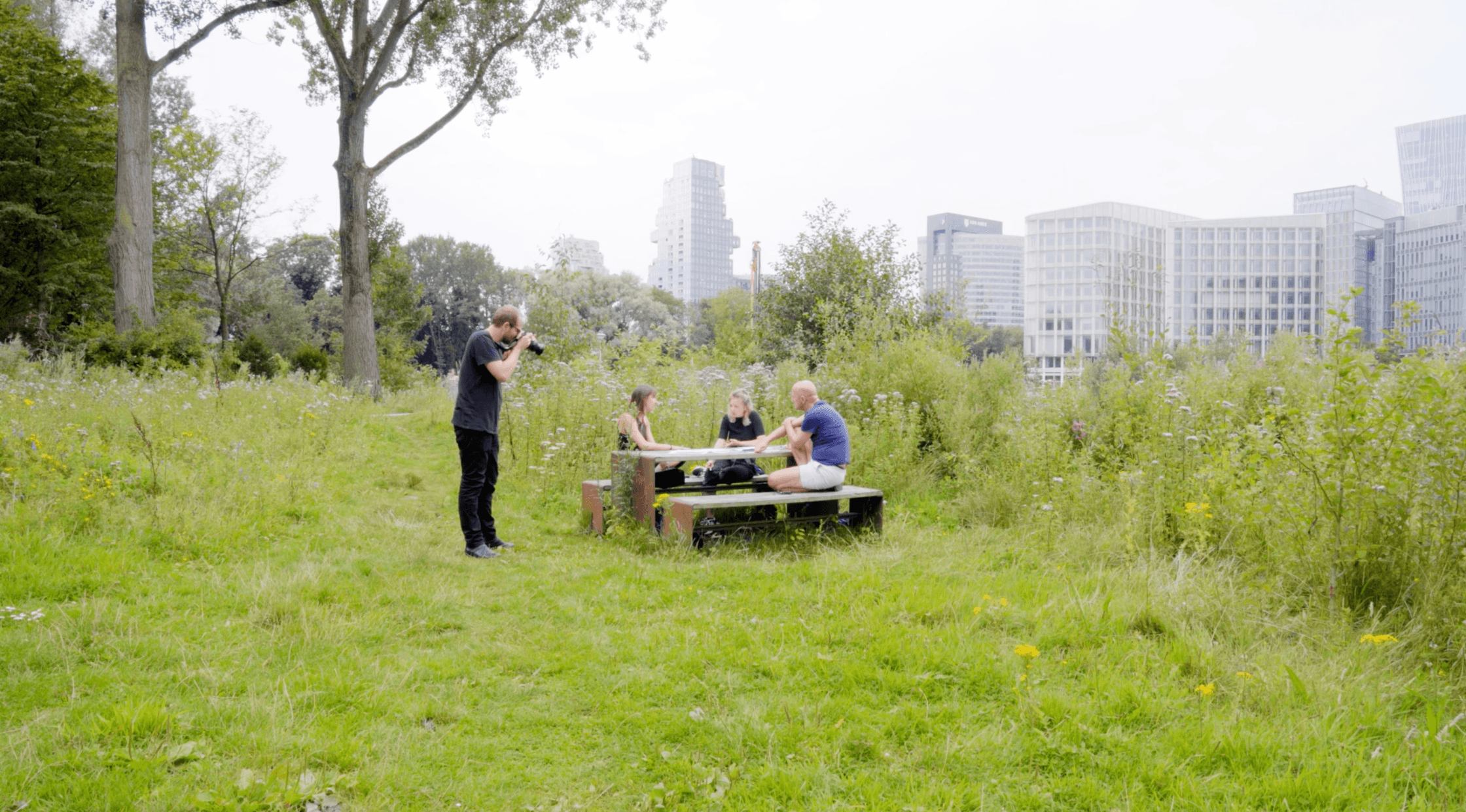
Afterwards, three Planetary Public Stack workshops organised by Waag took place at Old Observatory Leiden from April to May, engaging with around 30 artists and researchers. The first workshop focused on Planetary Public Stack (PPS) training, which was an introduction to the conceptual and technological layers of the PPS. The second one was a co-creation workshop, in which the Space Lab team and Space4Good collaborated with the participants to identify Dutch, European, or global environmental or technological cases in need of raised public awareness and what stories need to be told about these cases. The third one was about case prototyping—the Space Lab team and Space4Good supported the artists and researchers in working on their proposals that would make use of Earth Observation technologies in addressing their matters of concern and matters of care regarding the Earth and the environing technologies that shape it. During the last workshop, the groups presented their project proposals and four cases were selected for further development.
Below are the four cases and their outcomes at the end of the summer of 2023.

Terroir that Travels
One Planetary Public Stack residency project that is driven by a planetary matter of concern is Terroir that Travels by Centre for Genomic Gastronomy. This project asked how humans could make room for the plants and people that will migrate to and within Europe due to climate change. This project demonstrated how artists used Earth observation data for matter-of-concern: migrating plants and people caused by climate change. The artist collective looked into the EU crop map and The Land Use/Cover Area Frame Survey (LUCAS), and within the framework of Planetary Public Stack, they tried to map the changing terroirs of crops and zoom in on the case of the pink garlic in Lautrec, France, looking into how drought has influenced it. They explored the dynamics between the moving terroir of the crop and the economical-cultural-political border of the crop that refuses to move.
The project used legal documents, environmental data and satellite imagery to identify potential sites for pre-enacting disrupted tastes of place and asks: “What does local food taste like when climate changes everything?”, “Who and what belongs where?” and. “what will thrive and what will be left behind?” The collective has begun a process of visiting and meeting with impacted food communities to develop an ongoing conversation between remote sensing data and on-the-ground lived experience.

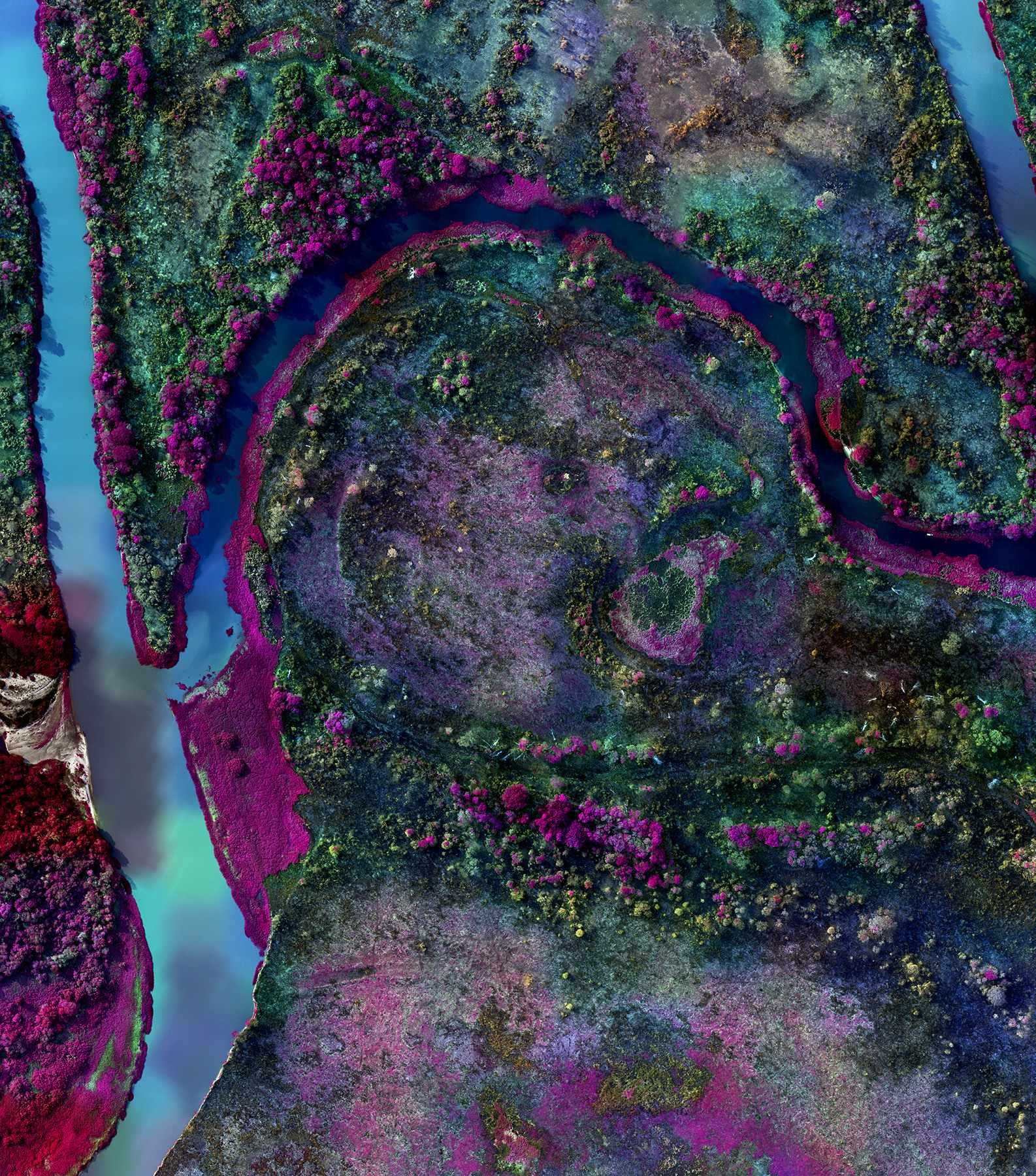
MushMap
MushMap is another residency project that challenges the planetary mapping-environing technologies. It was a research project by a group of artists and researchers including Margherita Soldati, Florian Geerken, Wanda Von Bremen, Bálint Csanád Katona, and Chris Julien. They questioned what the surface, line, and borders in maps fail to capture, speculating on how to map biodiversity and its borders. As a planetary matter of care, they wondered how we can collaborate with other species to hold liveable spaces for more-than-human and human. They question the limitations of maps, the rigidity of the defining lines of maps, and why ecotones: the transitions of two biological communities such as the in-between space of a park and urban space are not represented in maps. What would maps look like from the point of view of living organisms such as fungi and underground root systems? Biodiversity, how are the species using the environment, who is making the map? Whose agencies are represented on the maps? What if it's from the perspective of living organisms like fungi? Does the political border in the middle of a desert make sense?

Dense Dark Vegetation
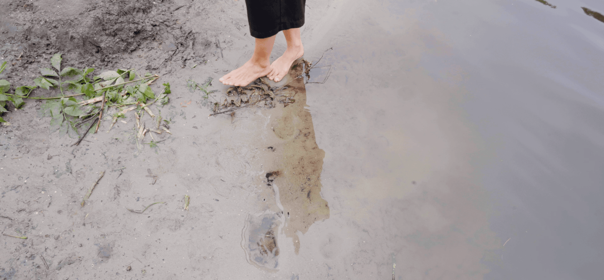
Dense Dark Vegetation was the research residency by Lili Carr and Matthew Harvey, in which they asked: what is the most surveyed pixel in the Netherlands? As the artists put it, remote sensing is a tool that records and displays every place on the planet the same way, all the way to the colours being chosen by analysts to indicate their categorising impulse (red = bad; green = good, etc). This project invited ways of unflattening this difference by bringing to the fore and celebrating the fuzziness and contingencies and complexity of the pixel, as defined by its edge.
What began as an investigation into the process of producing data at the level of satellite multispectral sensors, through to their post-processing into a geographic-visual language expressed in pixels, led the artists to an exploration of on-the-ground validation and calibration practices that inform (and are informed by) those models of the Earth. They found the Cabauw atmospheric research facility, located west of the town of Lopik in the province of Utrecht (NL), as a site where the groundwork of atmospheric science intersects with in-situ measurements that inform how remotely sensed data is processed. They proposed that this site makes up some of the most surveyed pixels in the Netherlands, the density of observations upon it and the volume of data produced from it informing expectations of how and what we interpret from afar.

The Space Between
One of the residency projects The Space Between by Michèle Boulogne, Alice Ladenburg, Zoénie Liwen Deng looks into the space between Earth Observation and ground observation. As the artists-researchers have written: "There is an urgent need to recognise the value of the knowledge that an individual or community has of their locality, to consider it alongside Earth Observation, and generate a more nuanced understanding of environmental concerns". Therefore, the group has brought three ground observers from different locations in conversation with Iain Woodhouse, a professor of applied Earth Observation at the University of Edinburg. This project explores these two questions: Can the knowledge and stories of individuals on the ground instigate a paradigmatic shift in technological and scientific environmental research? Can the knowledge of Earth Observation contribute to actions on the ground driven by matters of concern and matters of care?
Three ground observers who are situated in three sites have joined this two-way dialogue: Hackney Tree Nursery and Garden Forest, London, the UK; Cassius Darroux, Dominican Minister of Agriculture at Kalinago Territory, Waitukubuli, Dominica (mediated by Martinique artist Michèle Boulogne who has conducted her research in Dominica); herbalist Lynn Shore at Tuinpark Rust & Vreugd, Amsterdam, The Netherlands. The different perspectives from above and from the ground led to an interesting conversation about the site, but the group considered that the potential of the project could be further explored in these two interrelated directions: Can Earth Observation knowledge contribute to on-ground activism? Can a case be built by the Earth / Ground Observation dialogue that ultimately influences decision making impacting a matter of environmental concern?
Conclusion
Waag works with artists as researchers. Planetary Public Stack has learned from the research residencies in terms of how cultural, creative or critical practitioners can collaborate meaningfully with Earth Observation professionals, how they can use Earth Observation technologies and data to investigate their matters of concern and matters of care regarding the Earth, and how they open the black box of these technologies that not only make the visual representations of the environment but also make the environments. These research projects and outcomes are efforts to make Earth Observation technologies more public—more available and accessible for the public to use. They are integrated into the Planetary Public Stack mapping, which is a new kind of cartography, one that combines environmental, planetary, and technological concerns.