Join us for a walk with Mapillary!
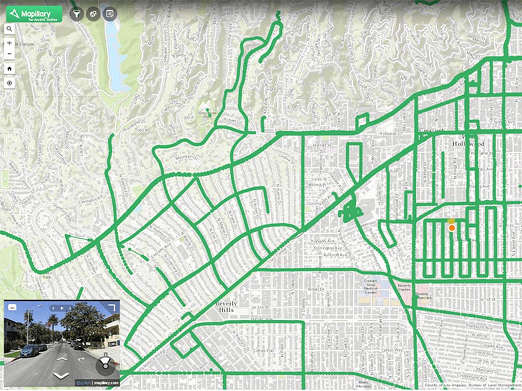
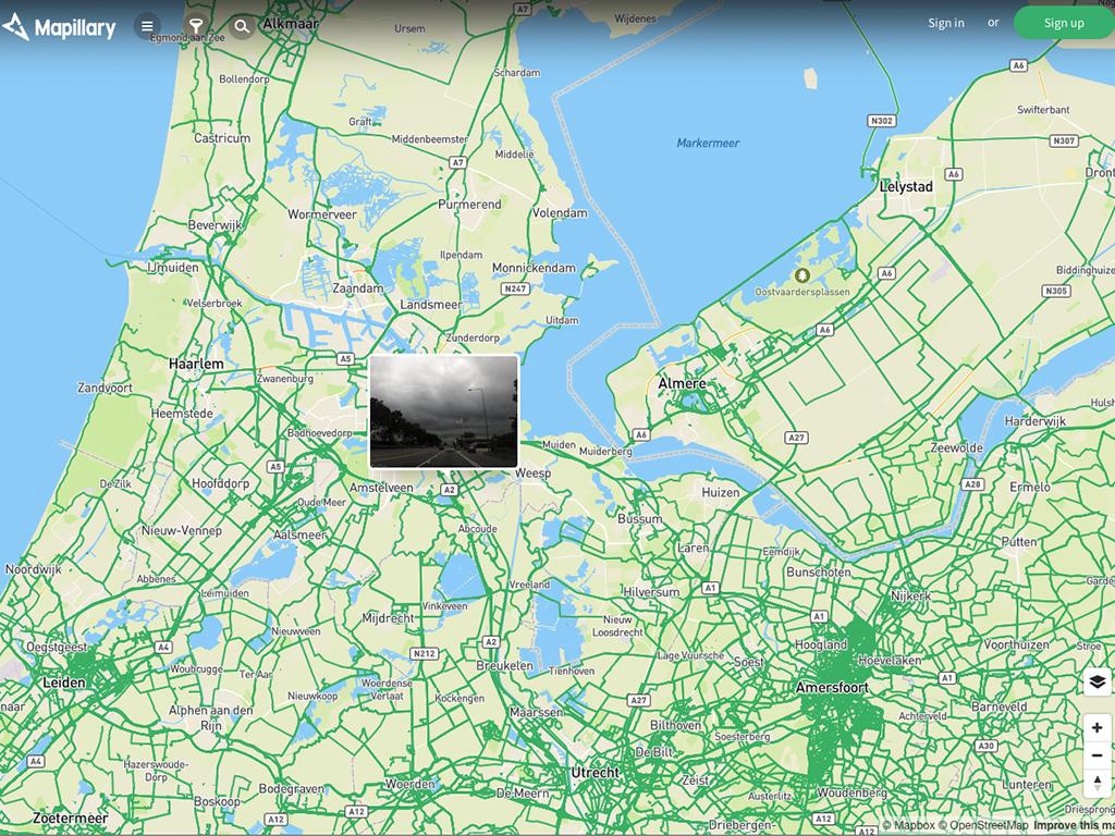
Mapillary is a passionate community of people who want to make the world accessible to everyone by creating a photo representation of the world. Anyone can join the community and collect street level photos by using simple tools like smartphones or action cameras.
By connecting photos across time and users, we can create an immersive street-level photo view for people to virtually explore different places in the world. We simply want to empower you to decide which streets, roads and hidden paths should be mapped, and when.
Let's improve the map with street-level photos, together!
Mapillary is a service for capturing and sharing street-level photos that can be used to improve maps. All photos are integrated into iD and JOSM to support map editing on OpenStreetMap. A great and fun way to collect local street-level photos is to do a photo walk together at a Maptime meetup.
Maptime is, rather literally, time for mapmaking. Our mission is to open the doors of cartographic possibility to anyone interested by creating a time and space for collaborative learning, exploration, and map creation using mapping tools and technologies.


