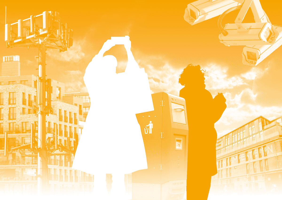
What is the smart city? Waag Futurelab thinks not cities, but citizens are the smart ones. In collaboration with Utrecht University, Centre for BOLD Cities and NWO, Waag Futurelab created the Smart citizen walk. Join us in tracing the tracks of the smart city!
Download the walking package (in Dutch):
- Den Haag: Conversation cards en de walking route (pdf)/walking route (GPX)
- Amsterdam: Conversation cards en de walking route (pdf)/walking route (GPX)
- Rotterdam: Conversation cards en de walking route (pdf)/walking route(GPX)
- Utrecht: Conversation cards en de walking route (pdf)/walking route (GPX)
- Eindhoven: Conversation cards en walking route (pdf)
Traces of the smart city
Cities used to be made of brick and steel, buildings and roads. But increasingly, this infrastructure is permeated with a digital network that connects everything. You can find these digital traces anywhere, and they help us to map the city and her citizens. Increasingly, we are making predictions about the behaviour of city dwellers. But how far should we go? We want to hear that from you, the smart citizen, living in the city.
Which data can a city collect and for whom should it be available? Who has a say in the smart city? What would the smart city of the future look like to you?
You will walk through the physical city and explore different traces of its ‘digital layer’: from smart traffic signs to camera’s following us. In daily life, you leave traces, checking in with your OV-card for example, or registering your license plate to park your car. Where do all these data go, who uses them and how could we harness them to make the city of the future more liveable, social and sustainable?
During the Smart citizen walk you will discuss these subjects and more. The conversation cards from the walking package will give you input. Download the package (in Dutch) for the city of your choice, consisting of a route and conversation cards:
- The Hague: Conversation cards en de walking route (pdf)/walking route (GPX)
- Amsterdam: Conversation cards en de walking route (pdf)/walking route (GPX)
- Rotterdam: Conversation cards en de walking route (pdf)/walking route(GPX)
- Utrecht: Conversation cards en de walking route (pdf)/walking route (GPX)
- Eindhoven: Conversation cards en walking route (pdf)
The Smart citizen walk
There are city routes available in Utrecht, Rotterdam, The Hague, Eindhoven and Amsterdam. The route on the map is a guideline. You can always add a detour or shortcut as you feel. We recommend doing the route together with other people, so you can discuss the questions and statements while walking.
When: whenever you want
Where: Amsterdam, The Hague, Eindhoven, Rotterdam, and Utrecht,
Materials: good shoes, a charged phone, a bottle of water
Distance and duration:
- Amsterdam: 5,3 km, 1 h 45 minutes
- Den Haag: 5,5 km, 1 h 30 minutes
- Eindhoven: 5 km, 1 h 30 minutes
- Rotterdam: 4,7 km, 1 h 30 minutes
- Utrecht: 5,2 km, 1 h 45 minutes
The Smart citizen walk was first available in Amsterdam, Rotterdam and Utrecht. When these walks were published in 2021, a watching, reading and listening list was also published, providing background information to the walk.
Conversation between citizen and municipality
The Smart citizen walk is intended as a discussion between people who live in a city and the municipality. We organised a walk in collaboration with the CTO from the municipality of Amsterdam. The Smart citizen walk in The Hague was created on request of the municipality for the week of Digital Ethics in January 2022. In December 2022, Waag Futurelab organised the walk in Utrecht during the Citizen Science NL Networking Day. In Eindhoven, the ‘datawalk’ was developed in a co-creation process with the municipality of Eindhoven and Citylab Eindhoven. It is a combination of Waag’s data walk and the Smart citizen walk with a specific focus on Eindhoven Strijp-S.
Are you interested in creating or organizing a Smart citizen walk in your municipality? Contact teije [at] waag [dot] org for more information.
Walking towards the future
In 2021 Waag developed four thematic walks in order to gather input for her first future exploration as Futurelab:
- The Datawalk leads you past data centers in four different areas of The Netherlands and lets you think about the future of the digital world in our physical landscape.
- The Landwalk, in which you can think about the future of agriculture, biodiversity, and the relationship between people, city and nature.
- In the North Sea walk we imagine how we will live together with the sea in the future.
- And the Smart citizen walk, lets you trace the tracks of the digital city.
This conversation about the future has a purpose. Waag Futurelab is convinced that in order to have a fair, open and inclusive future, everyone should get a spot at the design table. This also applies when talking about the future of the city. We do so with several do it yourself-walks, available in different places all over the Netherlands. We want to know how you view the future of technology and data.
The Smart citizen walk is co-financed by Utrecht University and the Leiden-Delft-Erasmus Centre for BOLD Cities and is made possible throug the Dutch Organisation for Scientific Research (NWO) under the NWA route Smart Liveable Cities. The route in The Hague was made on order for the municipality of The Hague in the context of the Week of Digital Ethics. The route in Eindhoven was made on order of the municipality of Eindhoven, in collaboration with Citylab Eindhoven, Fontys, Sint Lucas, Avans Hogeschool and iCity.


