In the Hollandse Luchten project we map the living environment of the province North-Holland through various pilots, civilian measurements and events and we jointly translate this into action. By collecting data together, we will also look for solutions together. We call this approach citizen sensing. Hollandse Luchten uses experimental technology and investigates the value of new sensor technology for residents of North-Holland.
Measurement values on the map
After the registration phase and a number of local sessions in which that measurement strategy was determined and the sensors were assembled, the sensor kits in IJmond now appear online on the map.
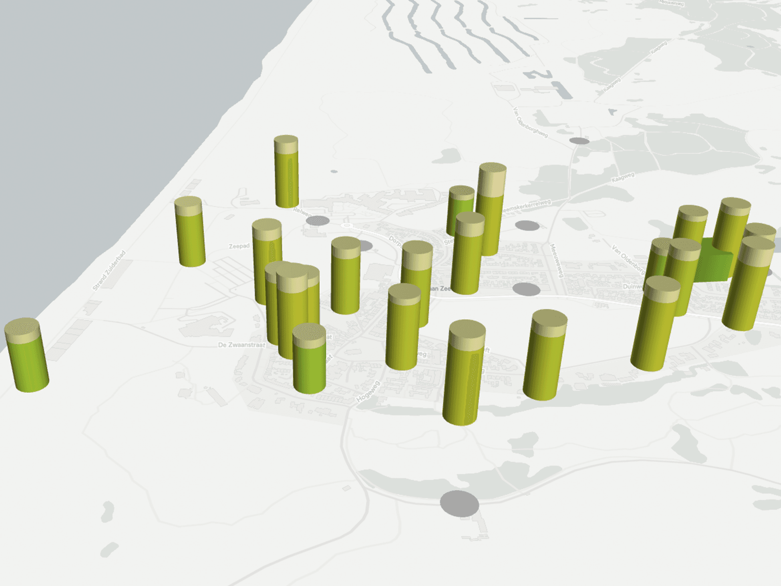
The map visualises data from 200 HOLU sensor kits and from official measurement points (from www.luchtmeetnet.nl). Hollandse Luchten is an experimental project. As part of the pilot, research is being conducted into the quality of data from the HOLU sensor kits, and into the best way to use this data.

The data is visualised on the map in a color scale. The air quality of Wijk aan Zee can be seen in the example above this article. The three pilot locations can be chosen, of which the one at IJmond is now the first to be seen. Buiksloterham and Zaanstad will follow later this year.

