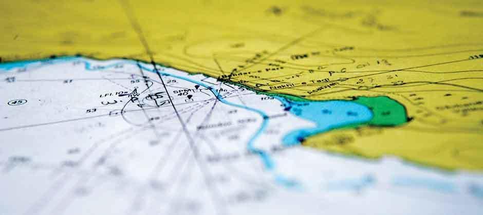
When we get in our car, on our bicycle or walk on the street, we see buildings, bridges, signs, trees, landmarks and more. All these visual references tell us where we are and where to go. But on the water.. there is nothing!
How do you find your way at sea? How do we navigate? Are there maps of the sea and how would that look like?
On this evening we have a real captain taking us back in time to tell us how the vikings found America, and found their way back home. How Columbus accidentally found America but also sailed in a straight line back to Portugal. From navigating with the sun, the stars, to modern times with GPS and satellites. We will delve into the use of nautical charts, digital nautical charts and electronic navigation charts.
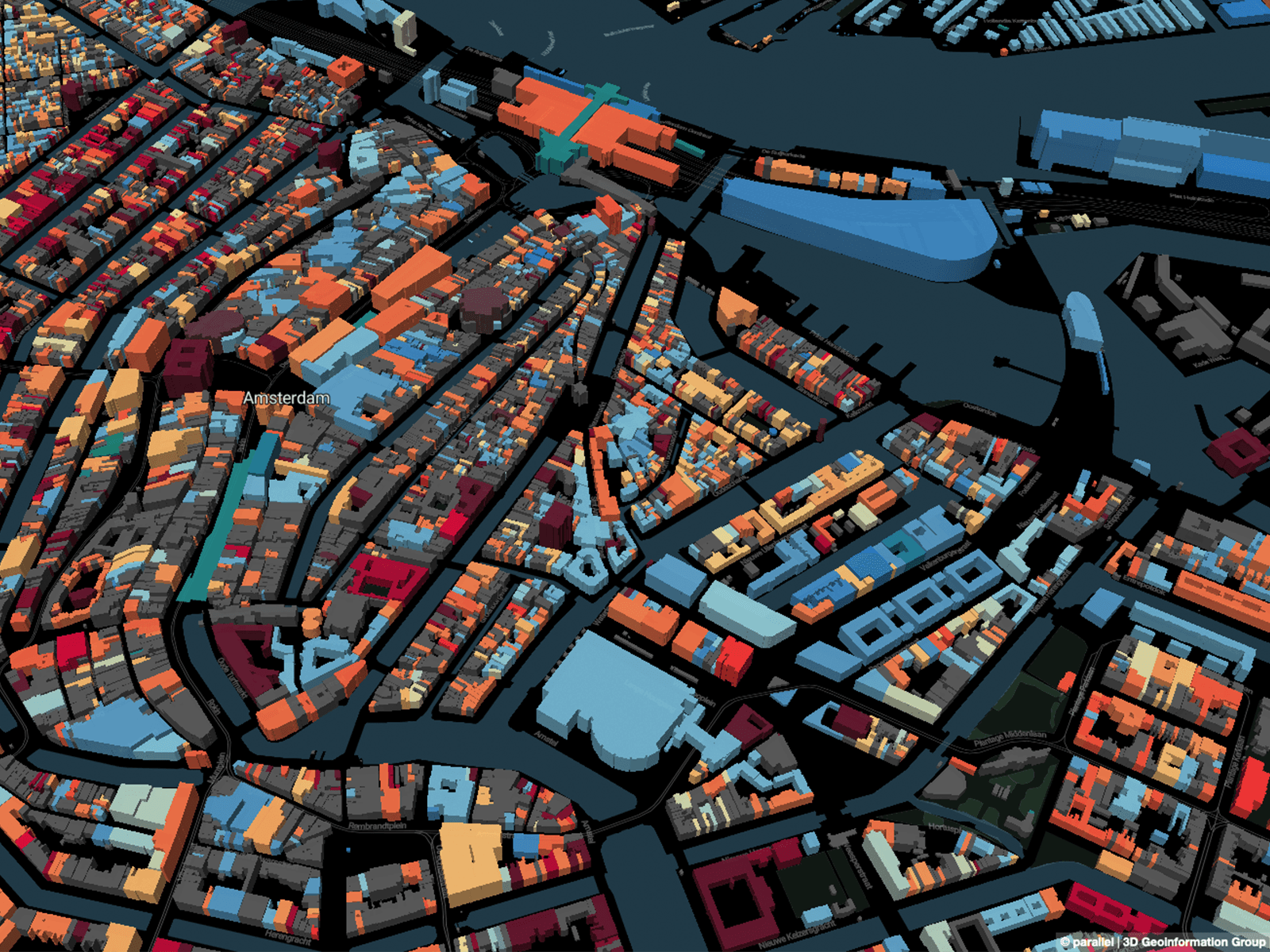
Maptime is, rather literally, time for mapmaking. Our mission is to open the doors of cartographic possibility to anyone interested by creating a time and space for collaborative learning, exploration, and map creation using mapping tools and technologies.
This open learning environment for all levels and degrees of knowledge offers intentional support for the beginner. Maptime is simultaneously flexible and structured, creating space for workshops, ongoing projects with a shared goal, and independent/collaborative work time. Maptime is hands-on, so don't forget to bring your laptop! All skill levels are welcome.
Follow Maptime on twitter @maptimeAMS and code.waag.org/maptimeAMS
More information about Maptime at maptime.io