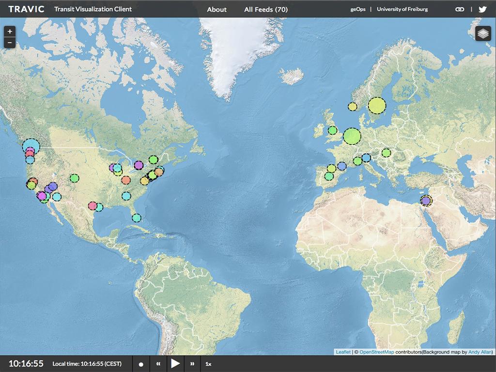
There are many kinds of real-time transit maps, but Travic shows this information on a worldwide scale. The Travic map provides animated maps of over 70 transit systems around the world. The Travic map uses publicly available GTFS data which has been released by city transit systems to provide real-time simulated maps of buses, trains and trams in real-time. Travic also uses real-time data where it is available. The same data are also used in the mobility API of CitySDK.
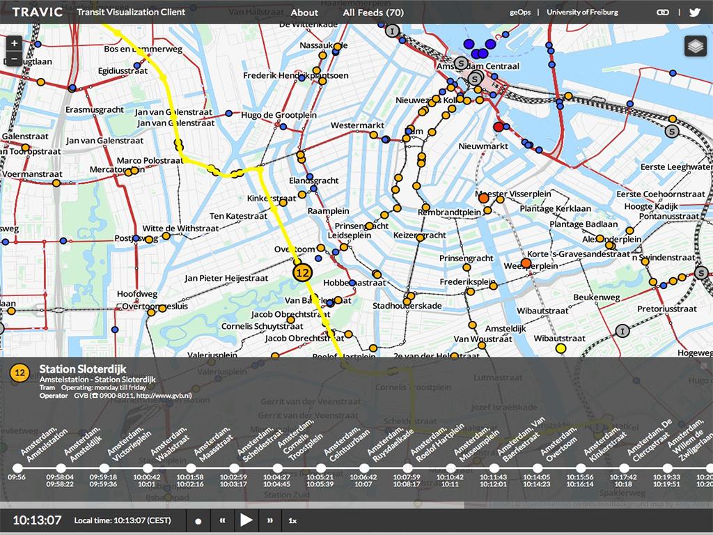
Another really nice feature of Travic is that if you click on an animated vehicle on the map the line it is operating on is highlighted on the map and the vehicle's full schedule is displayed on a route map, showing the vehicle's time of arrival and departure at each scheduled stop.
Travic has been made by the University of Freiburg and geOps.