For Maptime, developer Bert Spaan created a nifty online tool to extract the data of a street pattern, and turn it into an object. You can simply choose your favourite part of the city and create a vector image (svg) of it. This svg can be used with digital machines, like they have at a Fablab or other makerspace, to fabricate a sticker (with the vinyl cutter) or laser it from wood.
The application does more than just that: it also shows what happens behind the screen. Step-by-step, it leads you through the code and data that in the end form the printable file. Just recently we held a 'hacking heritage' workshop, in which the participants could print their street patterns on cotton bags. For this occasion, we refreshed the online tutorial. This is now available for everyone at: street-patterns.waag.org.
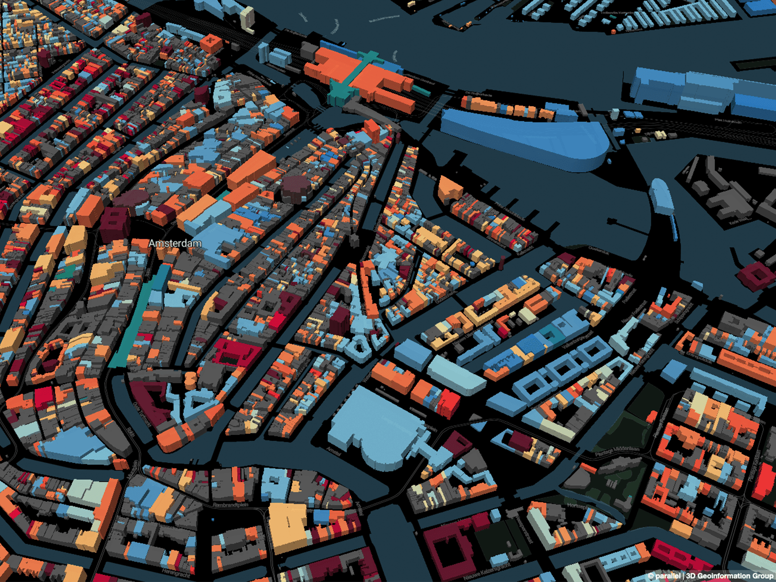
This, for example, is the street pattern around our building de Waag at the Nieuwmarkt:

Every street pattern is unique, and forms a 'fingerprint' of the city. A visualisation of the data that is used to make the map, but also of our personal heritage. Just imagine what you can do with this. Something to put on the wall? A hanger? A logo? Have fun!
The written code of this image looks like this (well, a short piece of it, or this would become a little boring):
<svg version="1.1" xmlns="http://www.w3.org/2000/svg" viewBox="289 160 547 549" height="549" width="547" style="transform: translate(0, 0);"><g><path stroke-linejoin="round" stroke-linecap="round" fill-rule="evenodd" stroke="black" stroke-opacity="1" stroke-width="3" fill="black" fill-opacity="0.2" class="leaflet-clickable" d="M338 593L340 588L332 584L329 580L317 559L314 551L420 606L431 586L315 521L307 535L300 516L310 499L306 496L298 509L293 492L289 463L303 471L391 342L353 325L289 409L293 377L294 374L347 305L379 266L356 253L371 238L389 249L393 250L431 193L461 179L409 256L439 269L513 164L548 </path></g></svg>
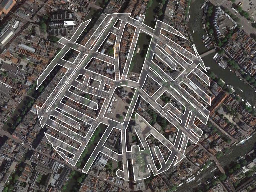
The data for the map comes from OpenStreetmap, an open source map. And this is how it looks like, when you put the two together: