Waag developer Bert Spaan will give a 'Lightning Talk' at the W3D conference on 'Linking Geospatial Data' in London on 6 March 2014.
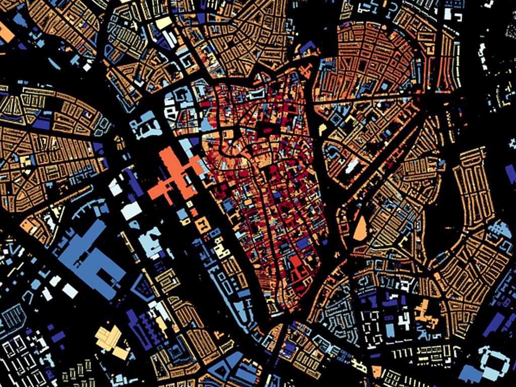
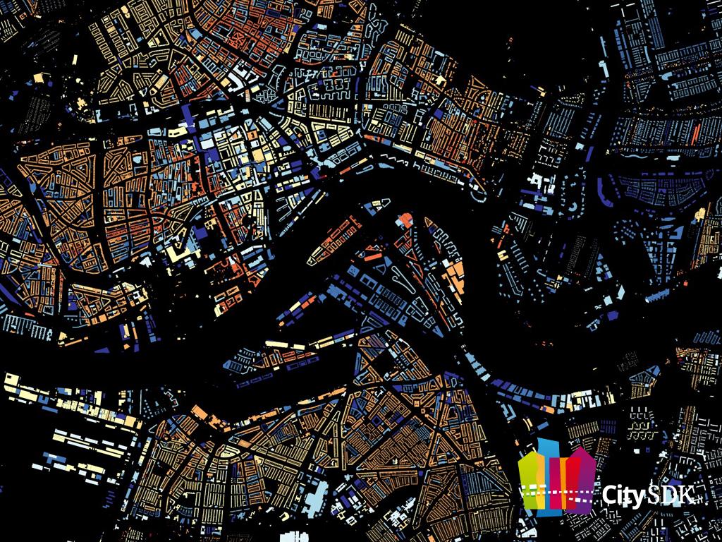
What are best examples of data-driven Web applications you've ever seen? The updates to Open Street Map after the Haiti earthquake? The mapping of all 9,966,539 buildings in the Netherlands? The NHS Prescription data? Things like SF Park that help you 'park your car smarter' in San Francisco using real time data? Bing maps and Google Earth?
All these and many, many more data-driven applications have geospatial information at their core. Very often the common factor across multiple data sets is the location data, and maps are crucial in visualizing correlations between data sets that may otherwise be hidden.
How can geographic information best be integrated with other data on the Web? How can we discover that different facts in different data sets relate to the same place, especially when 'place' can be expressed in different ways and at different levels of granularity?
More information on the agenda.
A geospatial API for linking and distributing open data - researching new ways of linking similar objects from different data sets, Bert Spaan, Waag
When?
6 March 2014
11.40 hrs
Where?
Campus London, Shoreditch (UK)