The Field Atlas is a subjective map of the Amsterdam Science Park. The map shows the city as a living place; biodiversity is central. It also provides space for new green developments in the neighbourhood. What would the developing area look like if the (more-than-human) residents were allowed to think along? If you look with different eyes, you will see a living room for extremophiles, a hut for returning wolves to mate, a greenhouse, a birdhouse, a so-called 'rommelhoekje' and a Wild Spot appear: all these places and more can be found on the Field Atlas. This summer during the landscape festival Met andere ogen (With Other Eyes), everything comes together!
What is the Field Atlas?
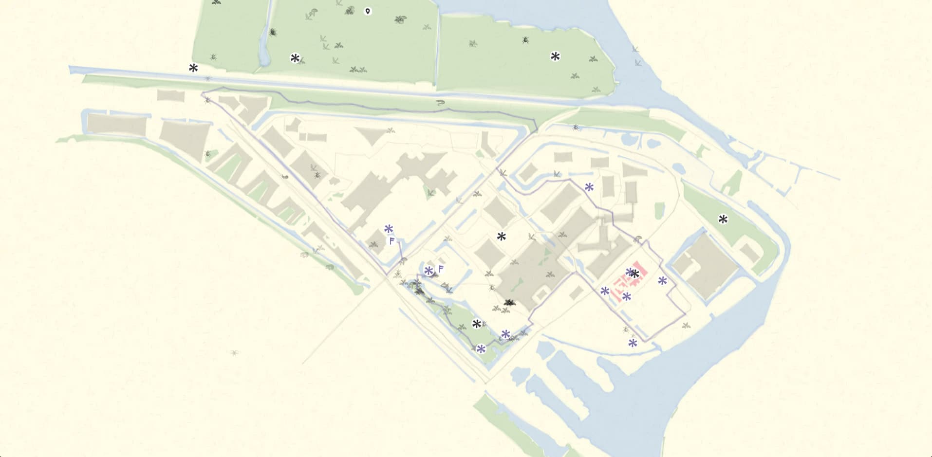
At the Field Atlas, you can discover the city as a living place, together with artists, local residents and scientists. There is room for biodiversity as observations by iNaturalis (nature observations by citizens) appear on the map. We highlight special places that contribute to the greening of the Science Park.
The Field Atlas is never the same, because the Amsterdam Science Park is never the same. Unlike the Master Plan adopted by the City of Amsterdam and UvA in 2014, the Field Atlas offers space for new developments from the bottom up and shows the city as a living place.
Even if you are not physically in the Science Park, you can join in the wonder of the biodiversity and green interventions taking place there. We now also offer the Field Atlas as a digital gateway to the Science Park.
Met andere ogen (With Other Eyes): Landscape Festival invites you to set your senses on the Amsterdam Science Park and discover the city as a living place, together with artists, local residents and scientists. During this landscape festival, we will build a different relationship with nature together. Workshops, installations and biodiverse interventions will shift our attention from bricks and structures to critters and soil during the summer months.
Would you like to see Amsterdam Science Park with other eyes? Pick up a walking map at Café Polder (Science Park 201) during the slow summer months.
About T-Factor
The Field Atlas is part of the international project T-Factor. How can we create city initiatives in an inclusive way and for a variety of life forms, such as people, plants, animals and microbes? Over the next two years, within T-Factor, Waag will investigate these and more questions about temporary initiatives on the Amsterdam Science Park.


