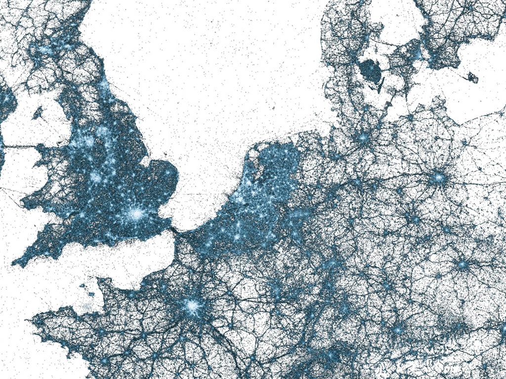
A few months ago, the 'Visual Insights' team of Twitter released a set of maps showing the aggregated Tweets over time. Interesting pattern emerge of areas where Twitter is often (or not) used. In many cases landscape elements like road and bridges are clearly visible on these maps.
Since 2009 all Tweets are geotagged - there are now billions of them. If you zoom in on these maps (all on Flickr by the way), you can watch regions in detail. If we take a look at our own country, you have to conclude that Twitter is very popular over here, something we actually already knew, but these maps visualize the fact very nicely. The hotspots are the Western part of the country with the large cities. Even the nautical routes from Hook of Holland and IJmuiden are clearly visible and the boat from Harlingen is obviously also used to twitter a lot...
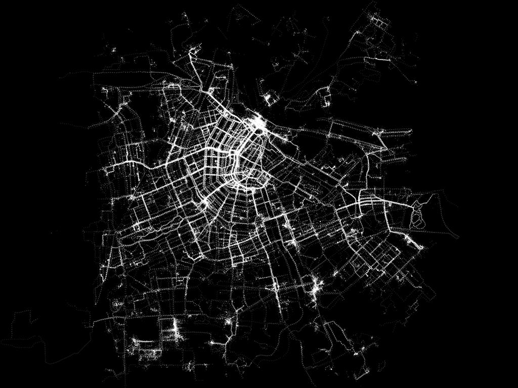
This blogpost at Twitter gives some more detailed examples of Instanbul, Tokyo and New York. They look a little bit like the maps generated by the users equipped with GPS in 2003 in our project Amsterdam Realtime, but then with millions of users.