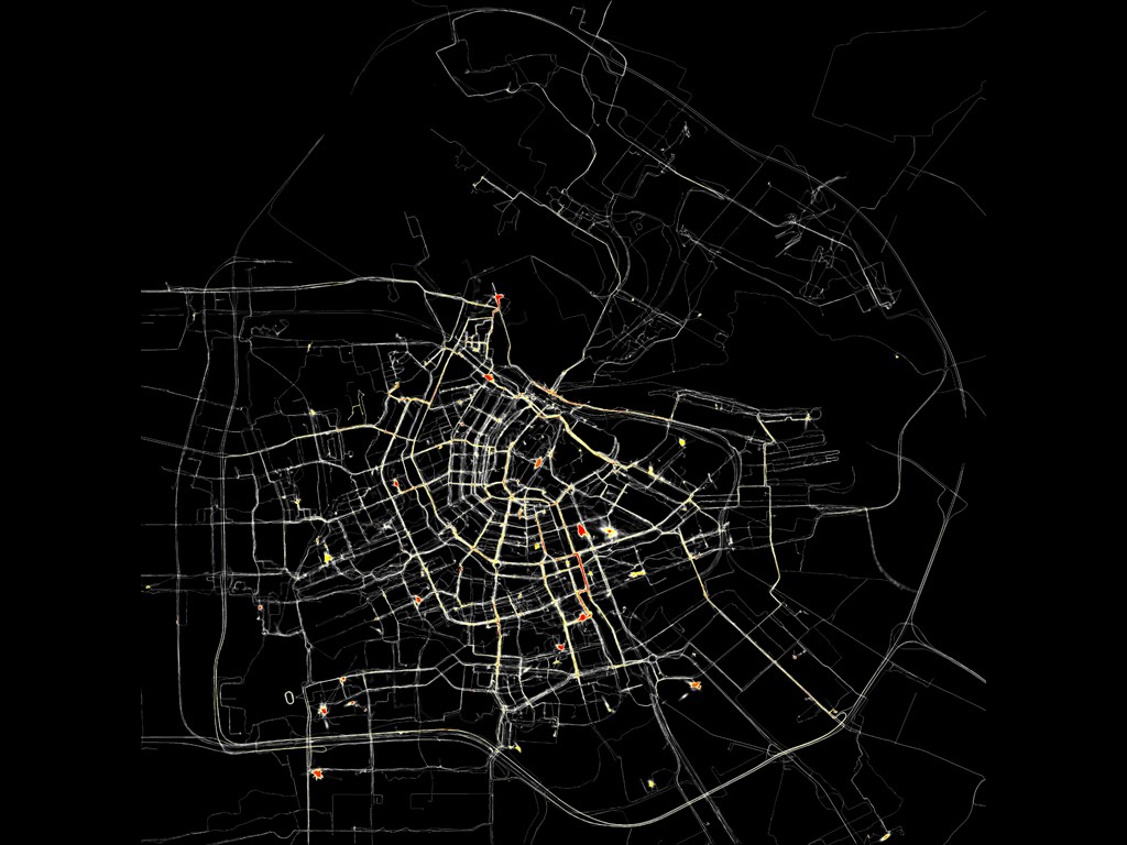
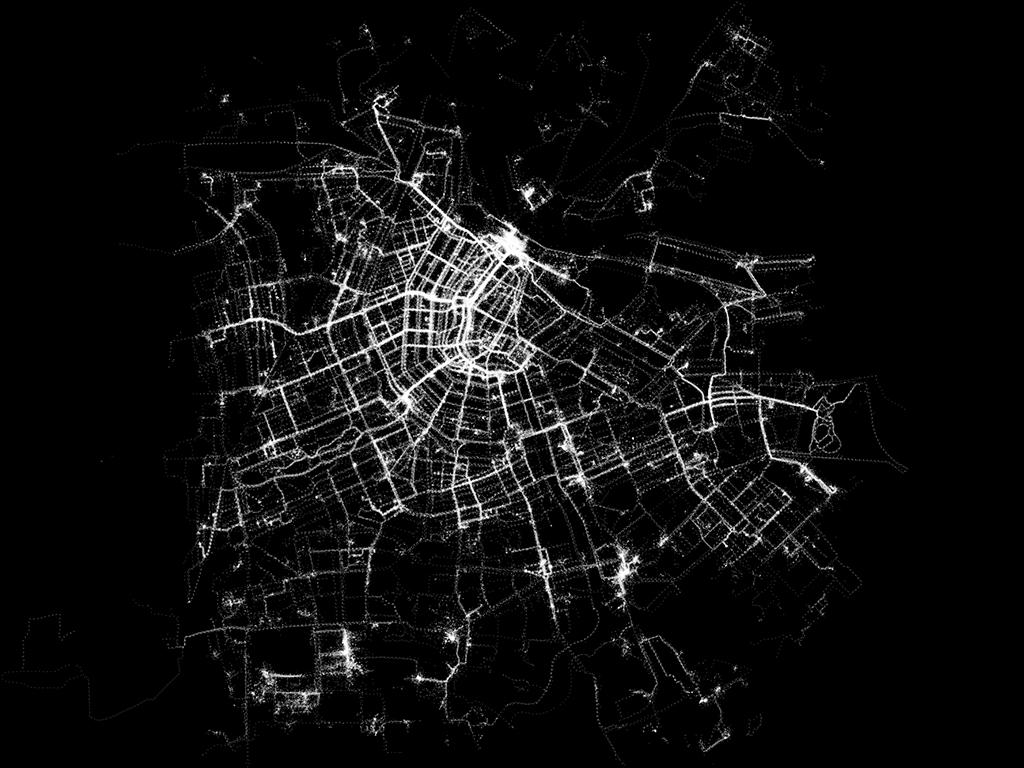
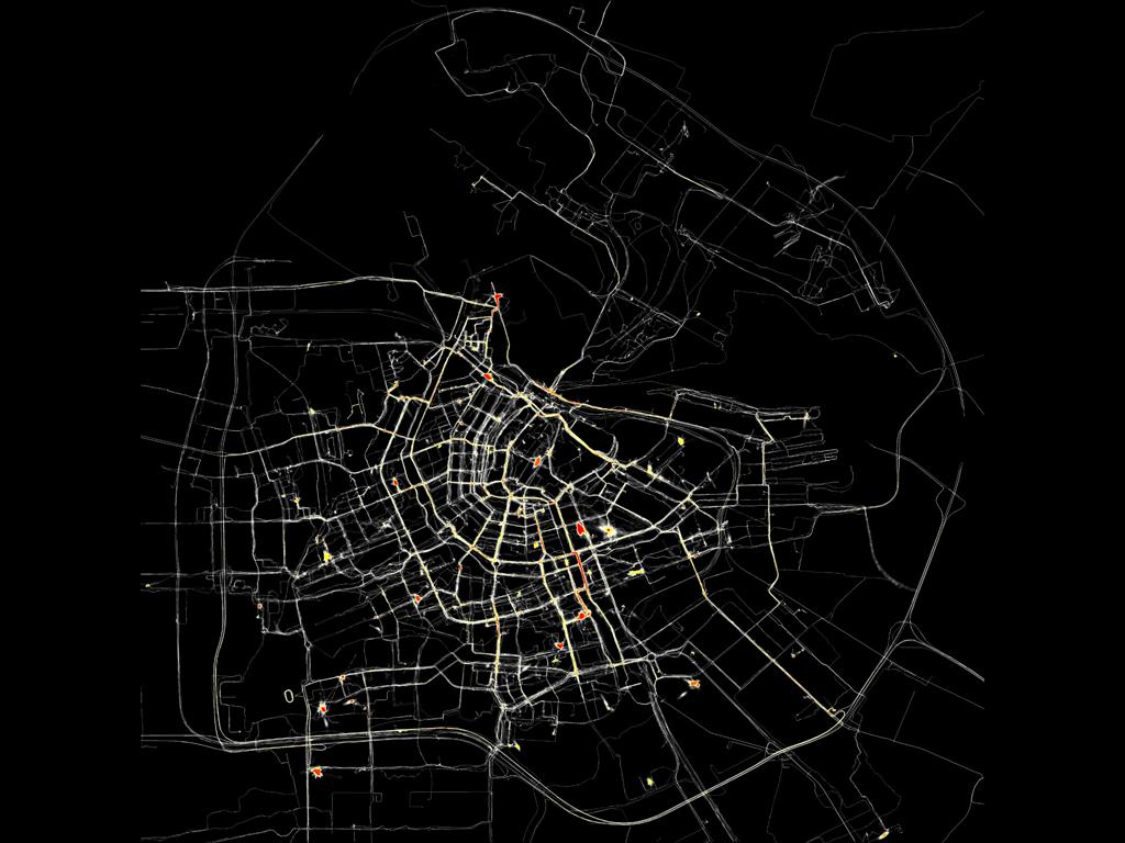
Every citizen of Amsterdam carries an invisible map of the city in his head. The way he or she moves through the city is determined by this mental map. Amsterdam RealTime in 2002 visualized those maps.
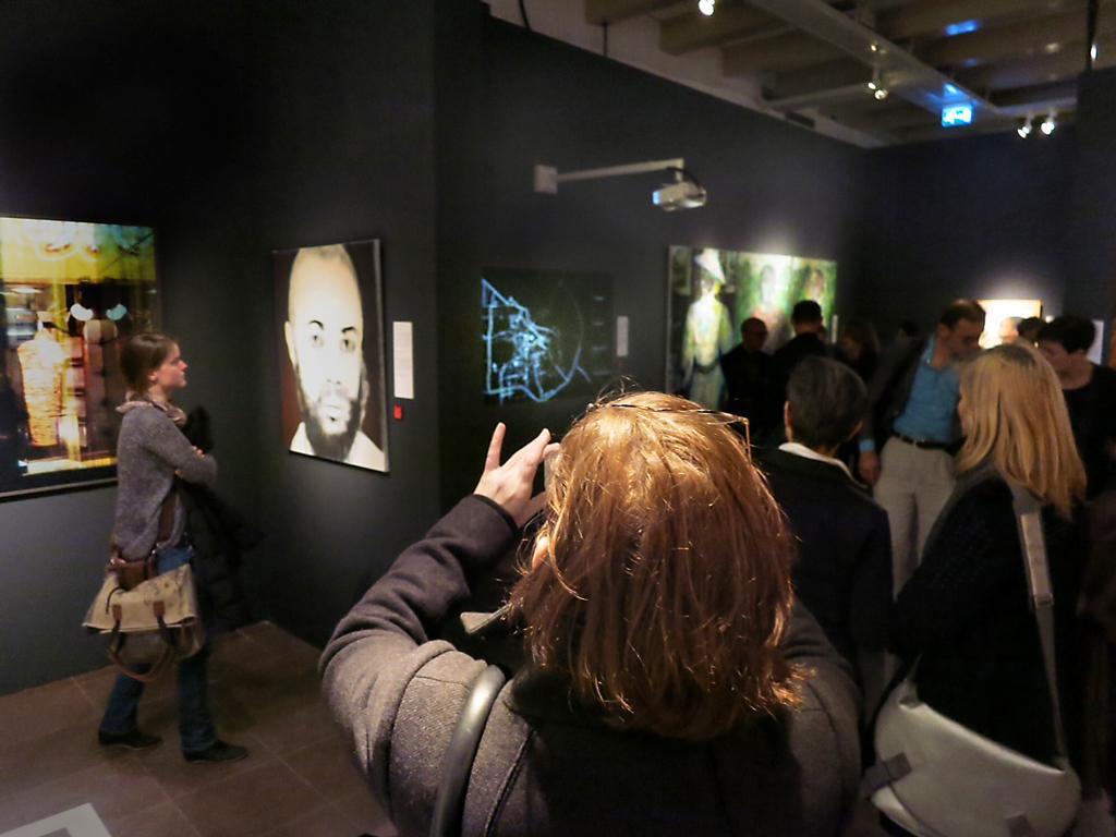
Waag presented, together with artists Esther Polak and Jeroen Kee the project Amsterdam RealTime, a diary in traces: a GPS installation at the exhibition 'Maps of Amsterdam 1866-2000' in the Municipal Archive of Amsterdam. GPS and GPRS entered the world of art and culture.
During two months, citizens of Amsterdam's were invited to be equipped with a tracer-unit. This was a portable device developed by Waag, equipped with GPS: Global Positioning System. Using satellite data the tracer calculated its geographical position. Tracers' data was sent in realtime to a central point. By visualizing the data against a black background traces, lines, appeared. From these lines a (partial) map of Amsterdam constructed itself. This map did not register streets or blocks of houses, but consisted of the sheer movements of real people.
The Amsterdam RealTime project sparked off a whole new Locative section at Waag, that resulted in developing software for mobile games and tours for cell phones equipped with GPS. An interactive map of Amsterdam RealTime can be found on the project website.

Meta data
Project duration
Links
Financiers
Partners
- Stadsarchief Amsterdam
- Esther Polak
